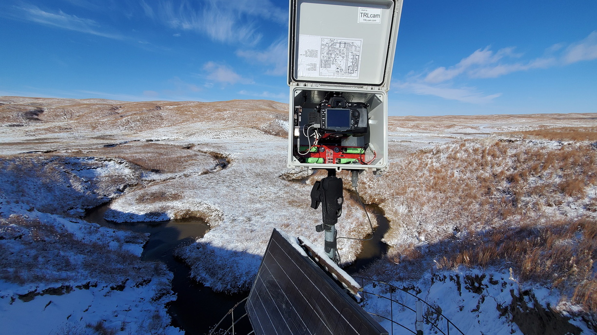
The Nebraska sandhills region covers roughly 23,000 square miles . It is a vast region of sparsely populated counties and not too many roads. It lies atop the Ogallala aquifer, the largest fresh water aquifer in the world. In the low lying areas are hundreds of lakes and rivers. 85% of the region is still in its natural state, never plowed. The University of Nebraska has a few research ranches in the region. The camera described below is set up on a hilltop that has cellular coverage most of the time. About ten years ago I installed three timelapse cameras on the research ranch. At the time the DSLR cameras recorded the images to the SD card in the camera. So a camera visit was required to retrieve the images. About three years ago we decided to try to link the cameras to a hilltop where cellular access was available. So, after quite a bit of walking and riding a ATV, I found a place that had line of site to all the timelapse cameras and also had a cellular signal. The service was good and we were able to maintain about 6mb up and 10mb down.
I made a routine visit to the camera sites and hub site a couple days ago. This will probably be the last visit till late spring.
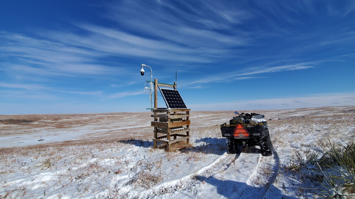
The structure above is made out of treated lumber set in concrete. It is about six miles from where I park the truck. On the structure you can see a 2.4mhz Ubiquiti grid dish pointed to a timelapse camera about four miles away. The other wifi antenna is a Ubiquity 2.4mhz panel pointed at two cameras about one mile away. The three timelapse cameras are each controlled by a Raspberry Pi. Plugged into to the Pi 40 pin GPIO connector is a custom board that has a real time clock with coin cell backup and a GPS module. On the two close cameras the Pi 3B internal wifi works to send the camera images to Box.com whenever the camera is activated. The Python script in the Pi reads the GPS almanac data stream, calculates the sunrise and sunset times then sets the alarm function on the DS3231 real time clock to take the next picture. The camera takes a picture every 30 minutes starting at one hour before sunrise and ending one hour after sunset. Between the pictures, everything is shut down except the real time clock. This saves greatly on battery power.
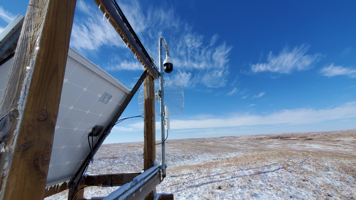
The night before I made the trip the the camera, it rained a little and then snowed a couple inches.
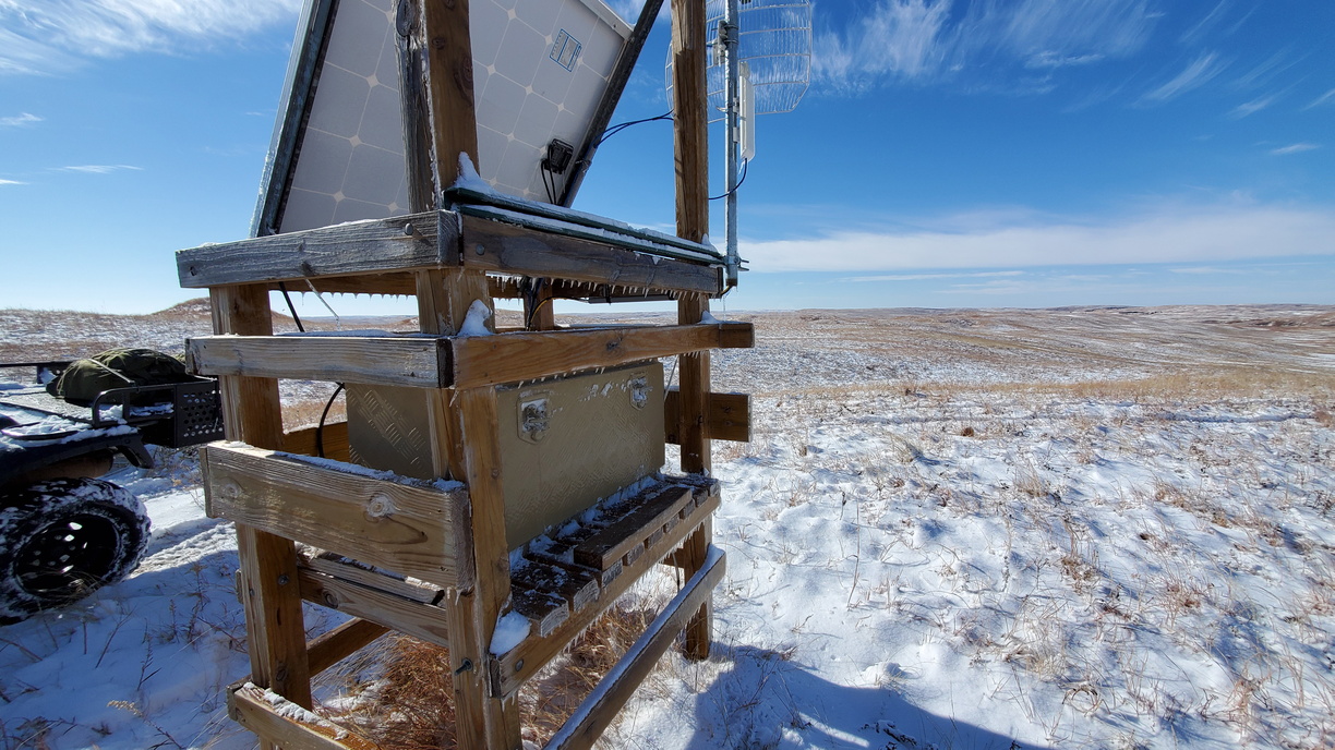
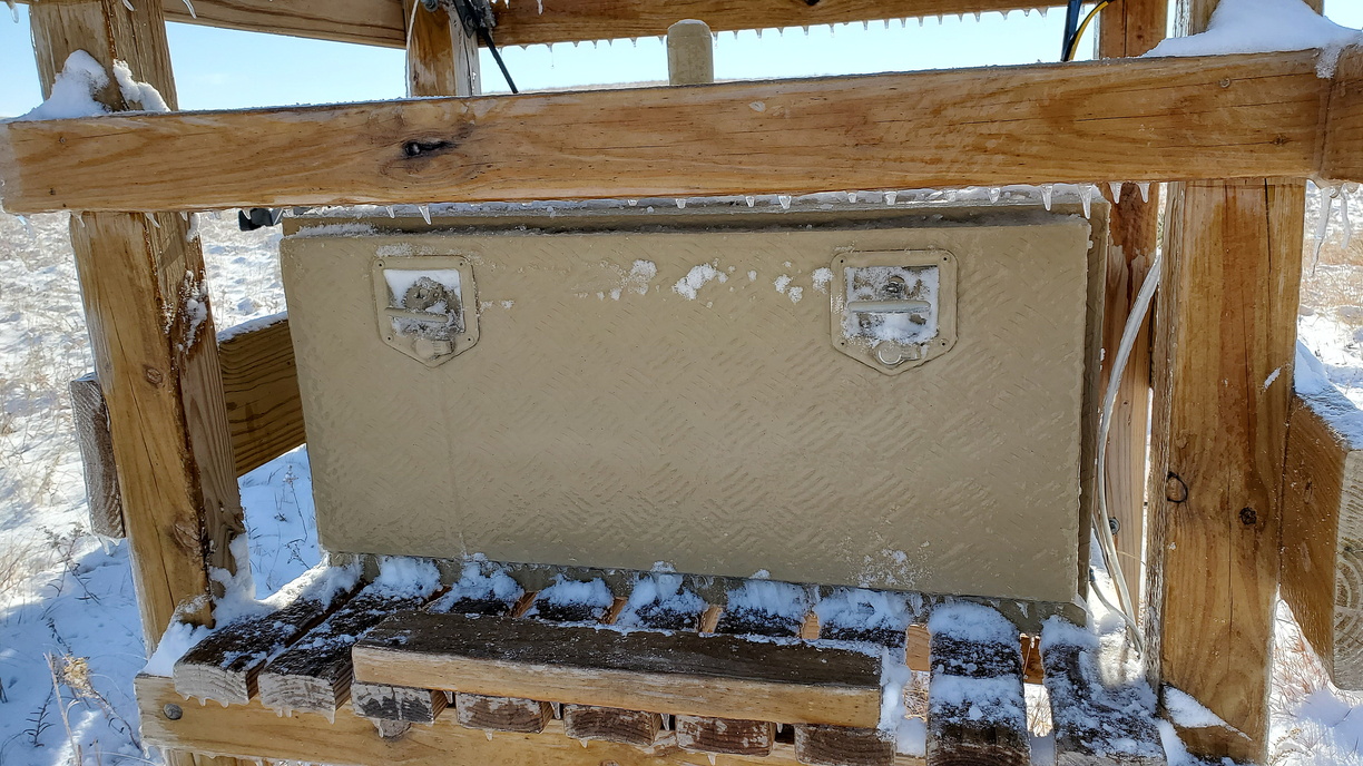
I didn't take a picture of the equipment box contents this trip, but inside is a MPPT charge controller and 100Ah deep cycle battery. Also in the box is the Cradlepoint cellular router/switch and the Raspberry Pi used to convert the RTSP stream from the camera to RTMP for streaming to YouTube Live. Since this camera is so hard to get to most of the year I wrote a script for the Pi to ping a website every fifteen minutes. If the ping is not received, it waits one minute and tries it again. If it is still not received then it powers down the cellular router/ switch to reset the connection. There is also a script that monitors the bandwidth usage.. If the ping is good but the bandwidth usage is bad, then it reboots the Pi. This has saved me many trips. This is a daytime camera, so there is a circuit that uses GPS data run into a TI MSP430 to calculate the sunrise/sunset times to shut down the IP camera and wifi equipment after dark and fire everything up an hour before sunrise. This saves a lot of power since the nights are long and cold in the winter here.
The camera at this location is a Dahua 2mp PTZ streaming at 1080P/20fps
I made a routine visit to the camera sites and hub site a couple days ago. This will probably be the last visit till late spring.

The structure above is made out of treated lumber set in concrete. It is about six miles from where I park the truck. On the structure you can see a 2.4mhz Ubiquiti grid dish pointed to a timelapse camera about four miles away. The other wifi antenna is a Ubiquity 2.4mhz panel pointed at two cameras about one mile away. The three timelapse cameras are each controlled by a Raspberry Pi. Plugged into to the Pi 40 pin GPIO connector is a custom board that has a real time clock with coin cell backup and a GPS module. On the two close cameras the Pi 3B internal wifi works to send the camera images to Box.com whenever the camera is activated. The Python script in the Pi reads the GPS almanac data stream, calculates the sunrise and sunset times then sets the alarm function on the DS3231 real time clock to take the next picture. The camera takes a picture every 30 minutes starting at one hour before sunrise and ending one hour after sunset. Between the pictures, everything is shut down except the real time clock. This saves greatly on battery power.

The night before I made the trip the the camera, it rained a little and then snowed a couple inches.


I didn't take a picture of the equipment box contents this trip, but inside is a MPPT charge controller and 100Ah deep cycle battery. Also in the box is the Cradlepoint cellular router/switch and the Raspberry Pi used to convert the RTSP stream from the camera to RTMP for streaming to YouTube Live. Since this camera is so hard to get to most of the year I wrote a script for the Pi to ping a website every fifteen minutes. If the ping is not received, it waits one minute and tries it again. If it is still not received then it powers down the cellular router/ switch to reset the connection. There is also a script that monitors the bandwidth usage.. If the ping is good but the bandwidth usage is bad, then it reboots the Pi. This has saved me many trips. This is a daytime camera, so there is a circuit that uses GPS data run into a TI MSP430 to calculate the sunrise/sunset times to shut down the IP camera and wifi equipment after dark and fire everything up an hour before sunrise. This saves a lot of power since the nights are long and cold in the winter here.
The camera at this location is a Dahua 2mp PTZ streaming at 1080P/20fps
Last edited:

